Acquiring greenfield commercial acreage in an emerging suburban corridor looks deceptively straightforward on a plat map. A buyer sees raw highway frontage, rapid residential population growth, and rising commercial land values. However, if an investor fails to conduct exhaustive site civil due diligence, hidden floodway boundaries, unrecorded drainage easements, and utility district capacity deficits will stall development and destroy capital.
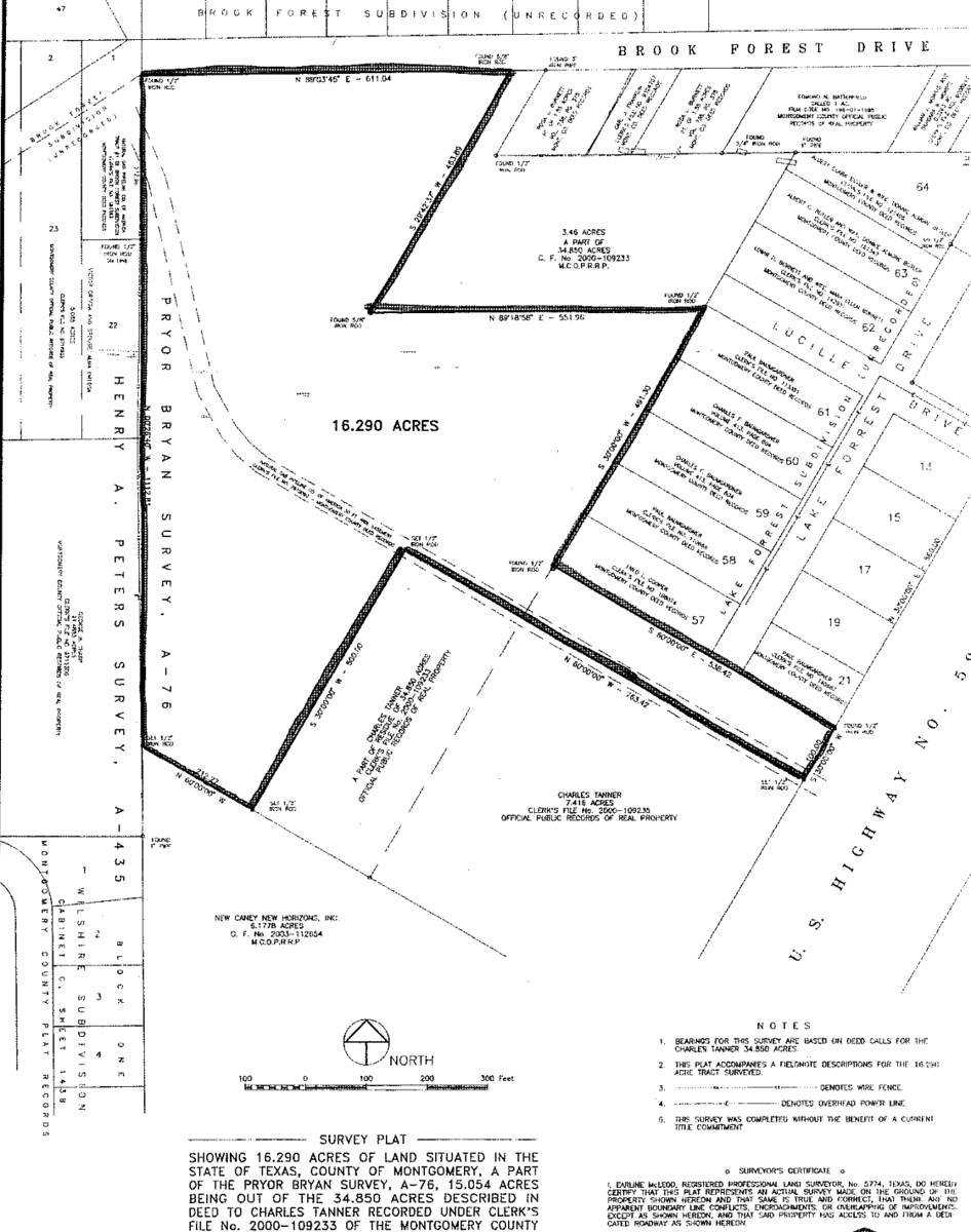
In the Greater Houston Area, TX, along an expanding highway growth corridor in the northeast sector, we led the comprehensive land acquisition feasibility, boundary survey audit, and civil entitlement assessment for a prime commercial acreage tract. The property was targeted for mixed commercial development, requiring verification of flood plain encumbrances, arterial highway access permits, and municipal infrastructure connectivity.
Successfully de-risking greenfield commercial land requires mastering two foundational pre-development investigations: flood plain hydrological modeling and arterial roadway access permitting.
Hydrological Modeling and Stormwater Drainage Feasibility
In regional coastal plain markets, natural sheet-flow drainage and regional watershed basins dictate how much raw land can actually support vertical commercial construction:
- Audited Federal Emergency Management Agency flood insurance rate maps, commissioning an independent civil engineering elevation study to establish the base flood elevation across the tract.
- Identified natural drainage contours and established required on-site stormwater detention pond volumes to ensure post-development runoff would not exceed municipal county flood control thresholds.
- Mapped existing pipeline rights-of-way and regional drainage easements across the boundary survey, establishing net buildable acreage outside of encumbered surface zones.
- Evaluated subsoil geotechnical core samples, assessing soil plasticity indices and subterranean water tables to budget future site grading and select-fill requirements.
Arterial Ingress Logistics and Utility District Coordination
Commercial land value depends entirely on vehicular access rights and wet-utility availability:
- Coordinated with state transportation department civil engineers to secure preliminary commercial driveway permits and curb-cut approvals along the highway frontage.
- Designed deceleration and right-turn lanes to accommodate commercial logistics traffic without violating state roadway clear-zone standards.
- Negotiated utility capacity allocations with the regional municipal utility district, auditing trunk water line pressures and sanitary sewer lift station capacity.
- Verified electrical distribution alignments with regional utility providers, ensuring three-phase commercial power could be extended to the tract boundary without extensive substation contributions.
The Takeaway
Land development success is determined long before earth-moving machinery arrives on site.
If a developer buys commercial acreage based on gross parcel size without verifying net buildable area, floodway elevations, and utility district tap rights, they risk owning undevelopable detention land. When you verify hydrological drainage capacities, confirm arterial access permits, and secure utility commitments during feasibility inspections, you de-risk your investment and establish a solid foundation for commercial development.